Ardurra’s professional land surveyors, field crews, and technicians have the experience necessary to provide the innovative thinking and technical skills required to meet our clients’ unique needs.
We believe a quality survey forms the basis for a successful design, and whether we’re establishing boundary lines, collecting topographic data, or staking improvements for construction, we know it has to be accurate and timely. Ardurra utilizes a blend of the latest technologies along with tried and true survey practices to form the best possible basis for your project.
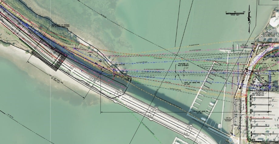
GPS, robotic total stations, aerial lidar, drone imagery, digital levels, and more all combine to allow our top-notch field personnel to accurately and efficiently collect data. Our CAD techs and licensed professionals work to produce clear, accurate, and useful maps including boundary surveys, topographic maps, 3D models, sketch & legal descriptions, and more. We have extensive experience with all sizes of projects for both private and public sector clients, and work diligently to surpass our clients' expectations.


