Geospatial
PROJECTS | Hot Springs County GIS Services
© ARDURRA GROUP, INC. ALL RIGHTS RESERVED
Hot Springs County, WY
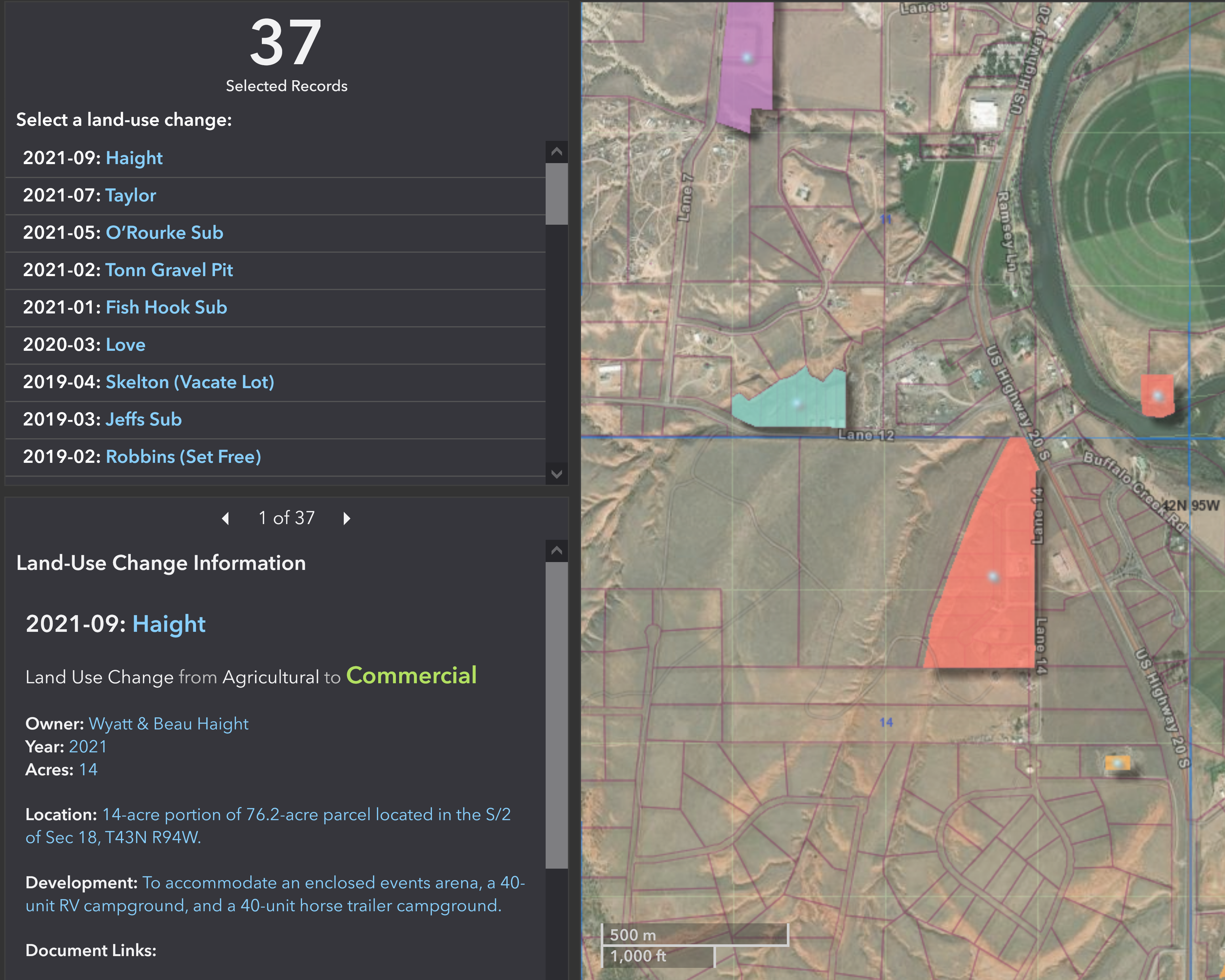
Ardurra has been working closely with the Hot Springs County Road and Bridge Department since 2019 to develop and implement comprehensive GIS databases and online applications for the efficient management of their county-road assets. The initial focus was on digitizing and georeferencing historical documents to identify road network issues. We then developed custom road maintenance applications, enabling mobile and desktop access to update road features and track maintenance history. In parallel, Ardurra partnered with the County Planner to create GIS web applications for land-use changes and septic permits, facilitating visualization and review of relevant data spanning several decades. The ultimate goal of our work with Hot Springs County is to improve the accessibility and accuracy of County records, ensure accurate representation of County assets, and support future road work projects and efficient land-use management.

© ARDURRA GROUP, INC. ALL RIGHTS RESERVED