Collier County, FL
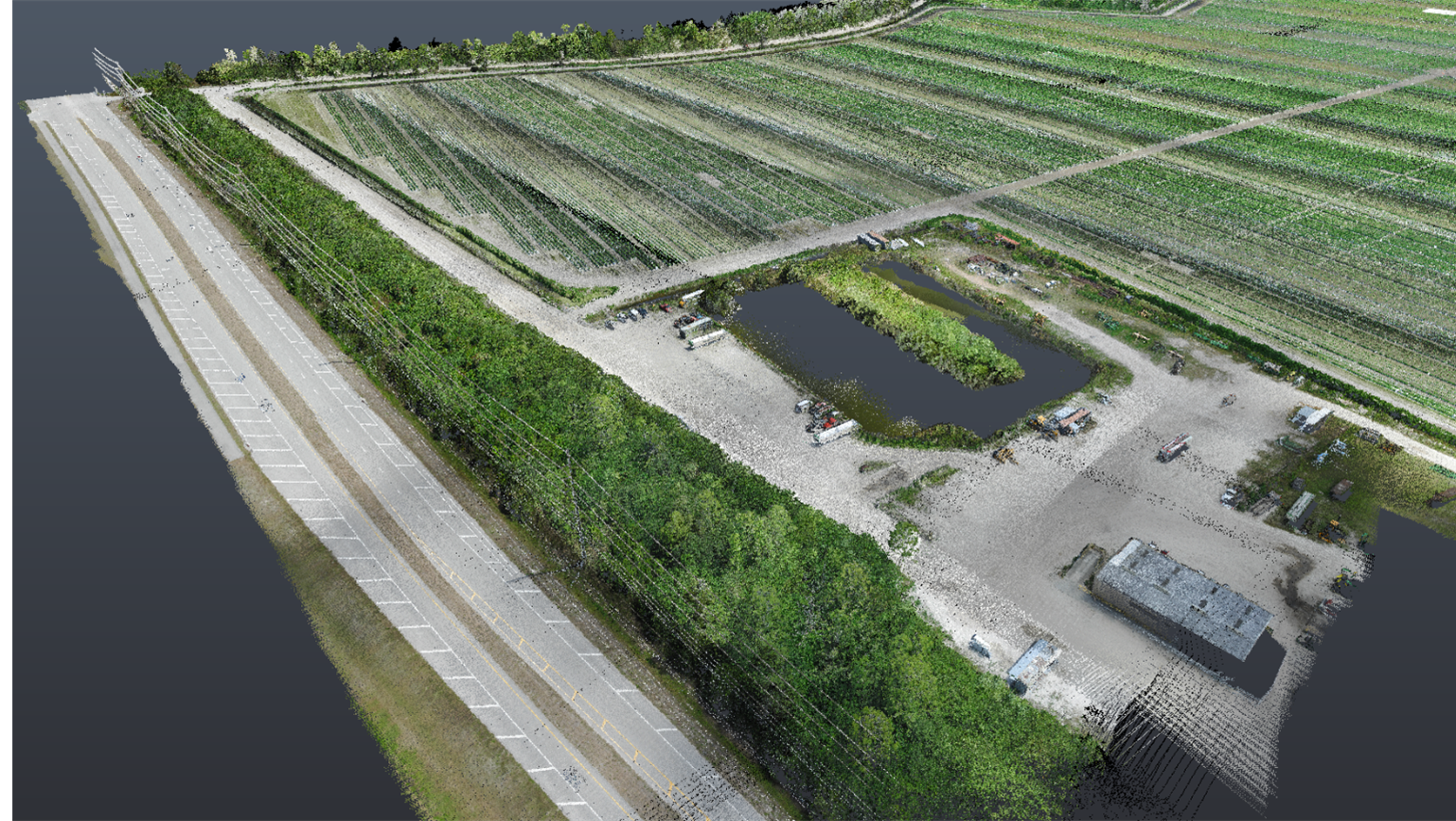
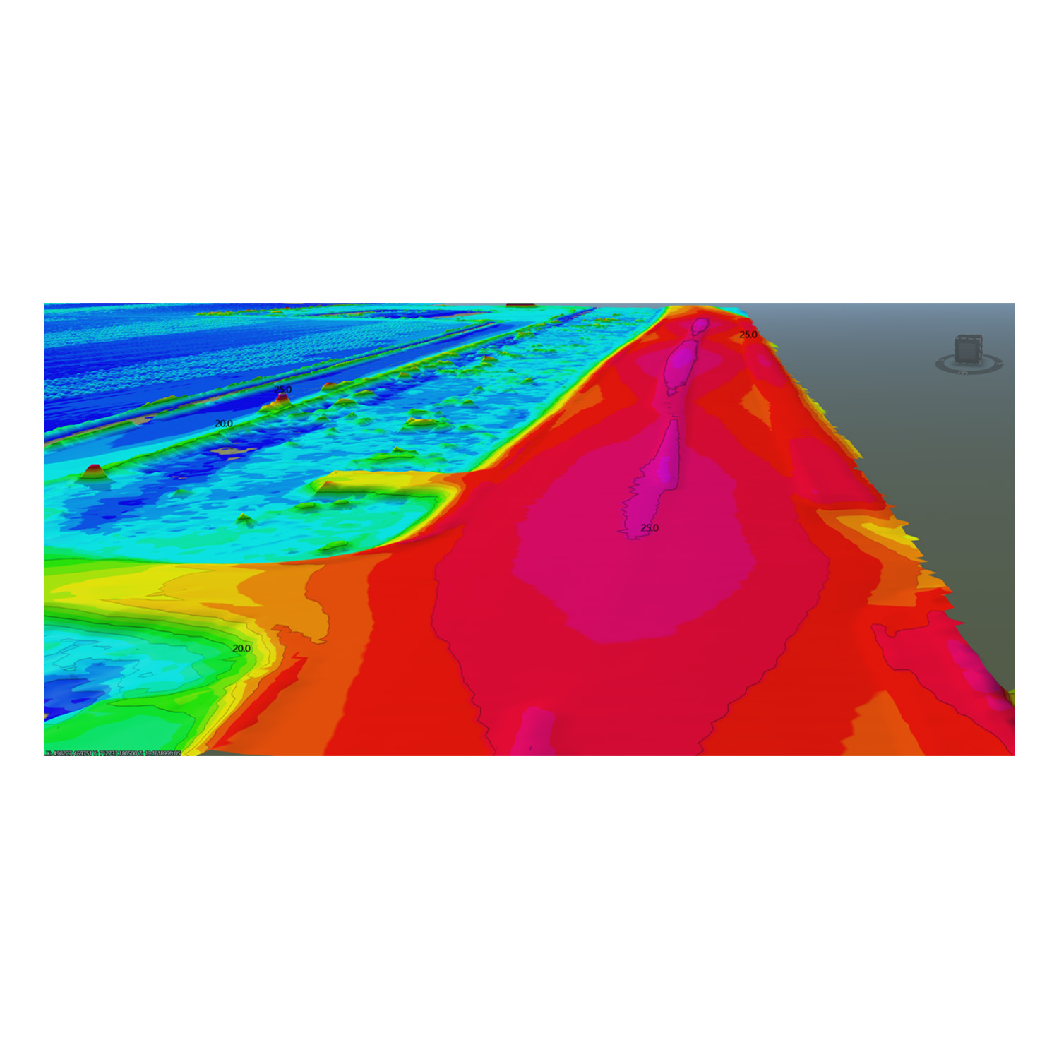
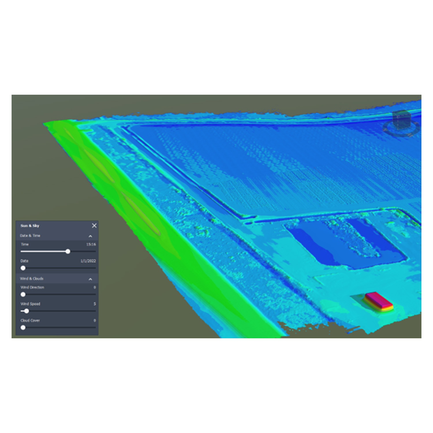
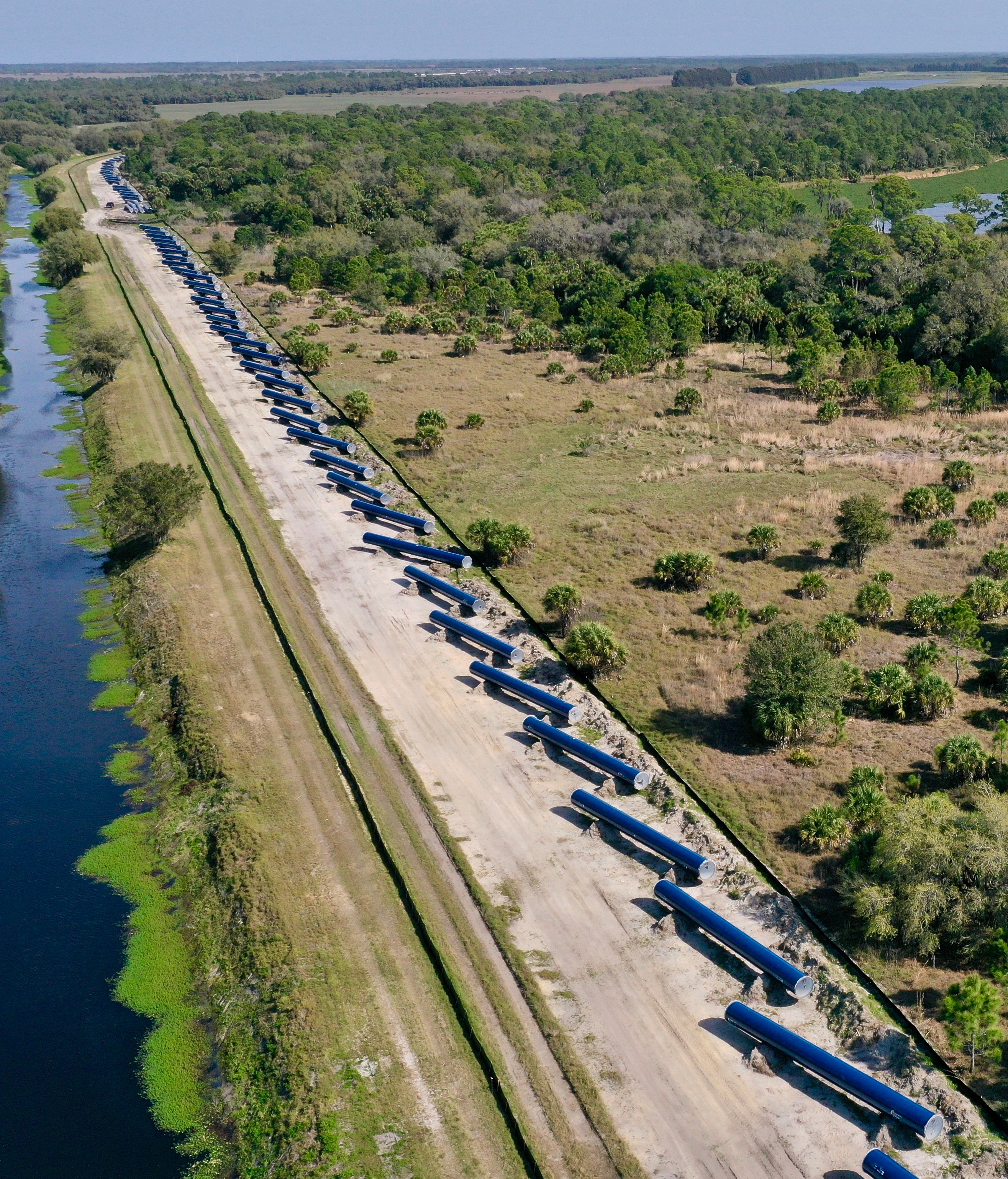
Ardurra performed surveying services for a 1000-acre (1.55 square mile) land development site. Services provided for the project included establishing Horizontal and Vertical control; performing Topographic surveying: This required surveying various land types, including active farmland, flooded lands, forest, and swamp. A significant characteristic of the topography was the approximate 10 miles of farm ditches that needed to be located to determine fill volumes. Boundary Survey: Ardurra surveyed the sections adjoining the property to properly situate the acquisition property. The Legal description was atypical, consisting of 150 lines and 174 curves. Ardurra was tasked with verifying the description and geometric closure. Land title analysis: Title documents provided by the client were analyzed to determine if there were any issues affecting the land being acquired. Aerial LiDAR (Point Cloud) / Photogrammetry: Ardurra collected and processed the point cloud and photographic images to create an accurate georeferenced Digital Terrain Model (DTM) and aerial photo mosaic, effectively providing the engineer with a virtual model of field conditions.
Equipment used for this project included: Conventional Total Station, GPS – Static and RTK observations, Drone equipped with a LiDAR sensor.