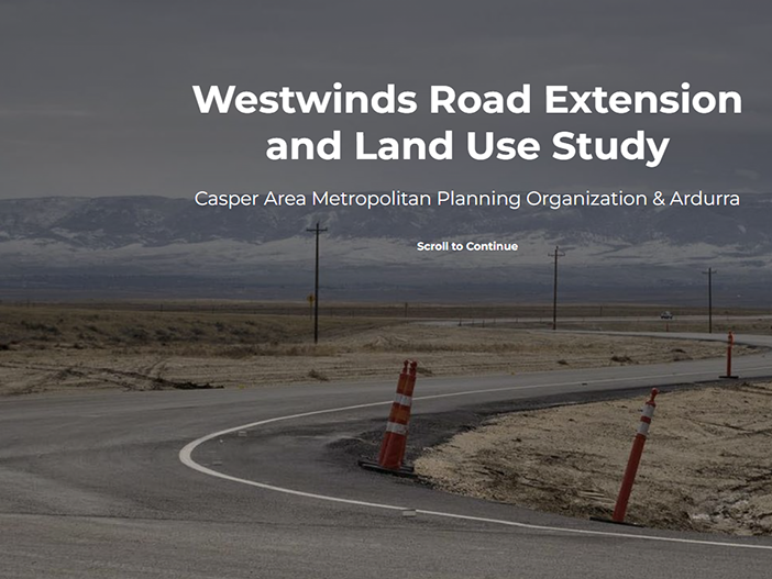
Westwinds Road Extension and Land Use Study
Casper, Wyoming
Ardurra created an innovative ArcGIS StoryMaps website for the Casper Area Metropolitan Planning Organization (MPO) to facilitate public engagement and feedback collection for the Westwinds Road Extension planning study. The interactive platform presented complex roadway alignment options in an accessible format, supporting regional transportation goals, including enhanced access to the Casper/Natrona County International Airport.
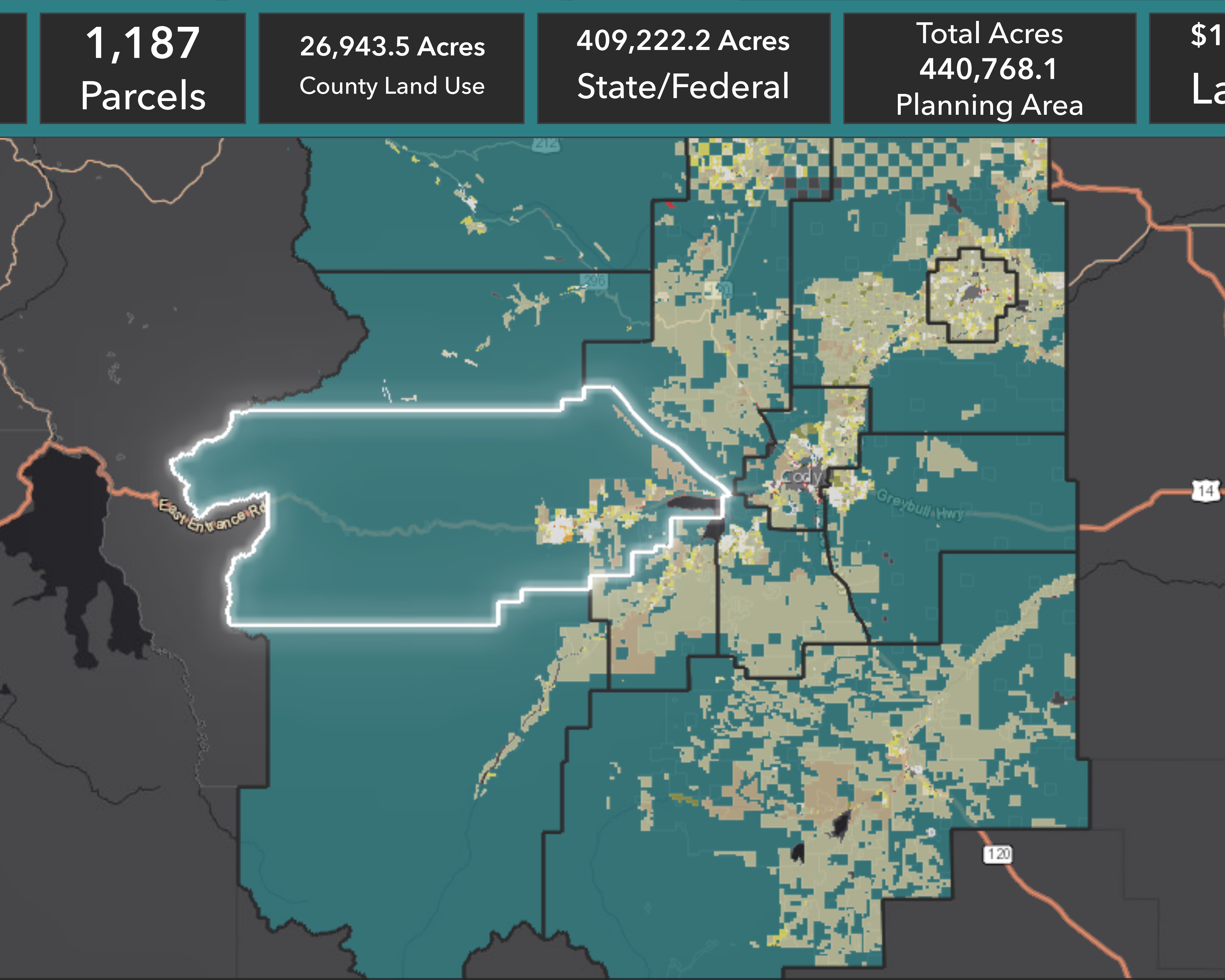
The comprehensive StoryMap integrated multiple spatial datasets, including LiDAR-derived elevation models, slope analysis, zoning and land use information, utilities, and hydrologic features, into interactive web maps. This data integration enabled users to understand potential alignment impacts within existing environmental and infrastructure contexts while exploring the MPO's future transportation objectives.
Key Project Highlights:
- Developed innovative StoryMaps platform presenting complex roadway alignment data in an engaging, accessible public format
- Integrated comprehensive spatial datasets including LiDAR elevation, slope analysis, zoning, utilities, and hydrologic features
- Created interactive web maps enabling detailed exploration of each potential alignment option with contextual information
- Facilitated direct public input through integrated platform features, allowing real-time feedback collection and community engagement
- Combined spatial analysis with narrative elements, making technical transportation planning accessible to the general public
- Supported regional transportation goals, including airport access improvement and systematic infrastructure development
- Delivered accessible web-based solution available at https://bit.ly/westwindsroad for ongoing community participation
The successful StoryMap implementation provided the Casper Area MPO with powerful public engagement tools supporting evidence-based transportation planning. The interactive platform enabled informed community participation while presenting technical data in formats accessible to diverse stakeholder groups throughout the planning process.