Louisiana Coastal Protection & Restoration Authority (CPRA) initiated a coastal restoration program centered on designing and constructing large ecosystem restoration projects suitable for funding under a Federal Water Resources Development Act. The Mississippi River Delta area of coastal Louisiana is being deprived of practically all the sediment (about 220M tons annually) that the river is transporting to the Gulf. CPRA is investigating alternative solutions to recover these sediments to benefit the restoration of coastal lands.
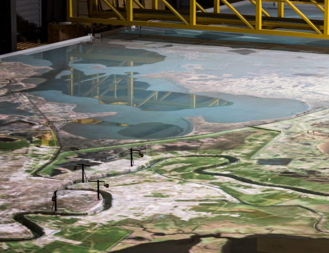
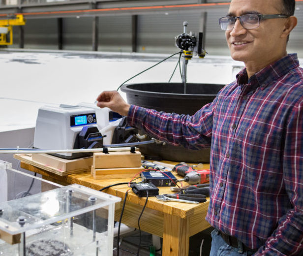
CPRA selected Ardurra to develop, construct, and operate a small-scale physical model (1:12,000 horizontal scale and 1:500 vertical scale) of the lower Mississippi River, including surrounding coastal delta area, to reproduce qualitatively river sediment transport patterns under existing and modified conditions as well as the movement of sediments caused by wind velocities. A 1:50,000 map of the area to be modeled was prepared for use in construction of the model. This map depicted topographic and bathymetric features within project limits. The model was constructed by SOGREAH, Inc. in Grenoble, France. Ardurra conducted the model studies and prepared a report containing descriptions of the model studies, results, photography, and illustrations to facilitate understanding of the model studies. The report included interpretation of study results and identification of significant impacts to the riverine system.
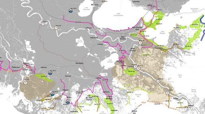
In 2011, CPRA awarded Ardurra the program to expand the model to encompass a larger portion of the lower delta. The expanded model is larger in domain and smaller in scale and horizontal distortion than the original model and will be utilized to help determine optimum locations of large-scale diversions, predict navigation dredging, and analyze river trends and features.